
Harvey Settlement Maps
Satellite Imagery of New Brunswick, including images of Harvey and surrounding area.
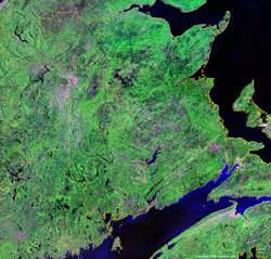 |
False color satellite image of New Brunswick with provincial boundaries indicated. Medium Sized |
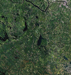 |
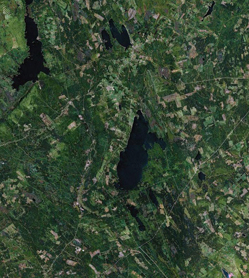
Satellite image of southern part of York County, New Brunswick showing land use. Labeled version immediately below. Source Googe Earth. Medium Sized
|
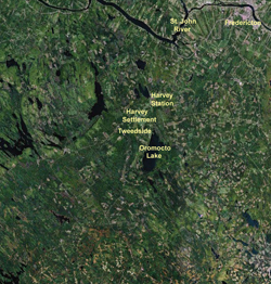 |
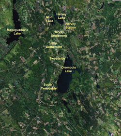
Satellite image of southern part of York County, New Brunswick showing land use. Labeled version showing relative positions of original Harvey Settlement, Tweedside, Oromocto Lake and presentday Harvey Station. Source Googe Earth. Medium Sized |
 |
Satellite image of southern part of great Harvey area, York County, New Brunswick showing land use. Labeled version showing relative positions of communities and some lakes below. Source Googe Earth. Medium Sized |
 |
Satellite image of southern part of great Harvey area, York County, New Brunswick showing land use. Labeled version showing relative positions of communities and some lakes. Source Googe Earth. Medium Sized |
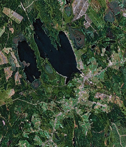 |
Satellite image of Harvey Station, York County, New Brunswick showing land use. Labeled version below. Source Googe Earth. Medium Sized |
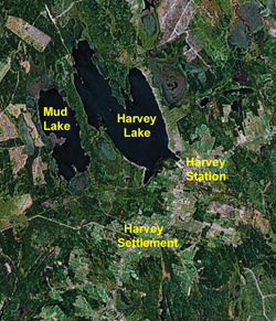 |
Satellite image of Harvey Station, York County, New Brunswick showing land use. Labeled version showing Harvey Lake (originally Cranberry Lake) and Mud Lake (also originally known as Little Cranberry Lake or Loon Lake). Harvey Stationis situated on the extreme northern fringe of the original Harvey settlement and came into existence at the cross roads that came into existence when the railroad came through. Source Googe Earth. Medium Sized |
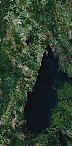 |
Satellite image of Tweedside and Little Settlement, York County, New Brunswick showing land use. Labeled version below. Source Googe Earth. Medium Sized |
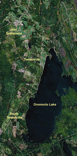 |
Labeled s atellite image of Tweedside and Little Settlement, York County, New Brunswick showing land use. Source Googe Earth. Medium Sized |
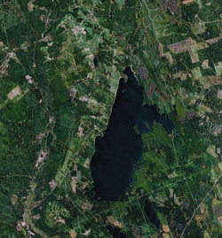 |
Satellite image of Tweedside and Little Settlement, York County, New Brunswick showing land use Labeled Version below. Source Googe Earth. Medium Sized |
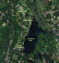 |
Labeled s atellite image of Tweedside and Little Settlement, York County, New Brunswick showing land use. Source Googe Earth. Medium Sized |