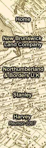
History   Documents   Census Records    Genealogy    Maps    Gallery  Reunion 2007   Scrapbook Ship

Map Index Page

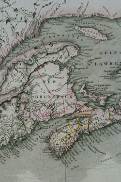
Extract from 1820 map of northeastern North America.

Medium Sized
Pop-up Image
700 X 150 jpeg;
1310 k; 72 dpi

Full Sized
Pop-up Image
2048 X 3072 jpeg;
9017 k; 180 dpi

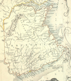
Unreferenced 1857 Map of New Brunswick

Medium Sized
Pop-up Image
700 X 795 jpeg;
357 k; 72 dpi

Full Sized
Pop-up Image
1122 X 1275 jpeg;
350 k; 300 dpi

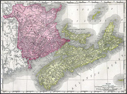
Unreferenced 1896 Map of the Maritime Provinces, including New Brunswick.

Medium Sized
Pop-up Image
700 X 518 jpeg;
256 k; 72 dpi

Full Sized
Pop-up Image
2508 X 1857 jpeg;
1564 k; 200 dpi